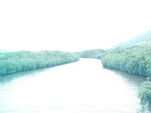
Satellite images used to track climate-resilient Mangrove forests
{Mangroves – Earth and Leaf editorial}
{extract below}

Mangroves: we used freely-available satellite images to track climate-resilient forests
Mangroves are one of most important ecosystems on the world’s coasts. They absorb the impact of storms, prevent erosion, provide food and safety for fish and other animals and can store huge amounts of carbon in the mud that builds up below them.
However, due to their delicate location in the transition zone between the land and the sea, they also face several human-made threats such as pollution and climate change-driven sea level rise.
That’s why it is critical to get updated and accurate information on the whereabouts and extent of mangrove forests in order to conserve and manage them more effectively. In our latest research, we used images captured by Earth orbiting satellites to map the past and present mangrove cover on the tropical island of Mauritius.
Islands are particularly vulnerable to climate change, especially its effects related to the sea, such as a rise in sea level or increasingly powerful hurricanes. Like many other small islands, Mauritius relies heavily on its coast as a source of income. That’s why it’s crucial to be able to take quick action to protect itself and handle the impacts of climate change.
Today’s link to our pages or posts . . .
